Professors and students from Tsinghua University, Hunan Water Resources and Hydropower Research Institute and other relevant unit experts had a field survey in Dongting Lake Basin during Feb. 5, 2018 to Feb. 8, 2018.
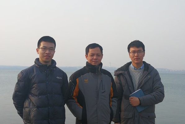
Prof. Cong, Yibo and Qiangqiang on the banks of the Yangtze River
Dongting Lake is connected directly to the middle reach of Yangtze River. In the 1950s it was the biggest freshwater lake in China, but is now the second largest. The lake functions as an overflow, throughput, and seasonal lake, and therefore plays an important flood regulatory role in the middle reach of the Yangtze River. Influenced by natural processes and anthropogenic changes, the middle reach channel of the Yangtze River and the Dongting Lake basin have been altered distinctly in recent decades. As a result of sediment deposition and reclamation, the volume of Dongting Lake has been reduced, and its connection with Yangtze River has weakened in recent decades, causing deterioration in the flooding activities in the region.
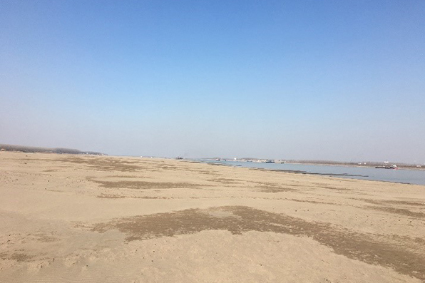
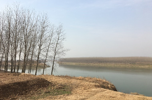
The bare floodplain in the Yangtze River
During this period, we conducted field visits to 14 typical sites in four outlets hydrographic net. The region of four outlets hydrographic net located at 28°7′~30°25′N, 111°39′~113°4′E, which is the link between the Yangtze river and Dongting lake. The area is a typical plain river network area with a coverage of 9812 km2, which covers 13 counties in Hunan an Hubei province. Affected by flood, sediment deposition, water flow scouring and human activities, the river flows from north to south, and flows in series and intertwined with each other under the influence of topography. Under the trend of continuous runoff attenuation, the characteristics of rivers weaken.
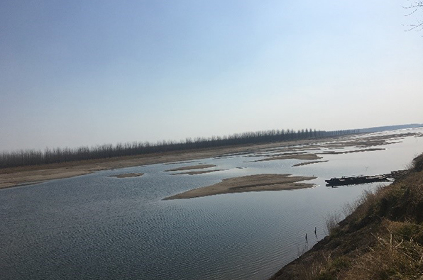
The shrinking Duchi east river
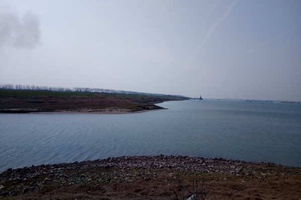
The Taiping outlet
The complex river networks